1st August 2022
Not really our style of headline, is it? After all, we’re not the Daily Dafty. So what lies behind it?
First, the obligatory recap of things that are undeniable:
- Since 2015, Northstowe phase 1 has been built.
- Since 2015, the groundwater levels in adjacent Longstanton have fallen to the point where they have virtually dried up.
- Since 2015, developers at Northstowe have created two large ‘amenity’ lakes and filled them with water. (An ‘amenity’ lake is one that is created for recreational purposes or visual impact, rather that as a necessity to ensure good drainage and protect against flooding.)
The link between points 2 and 3 is not undeniable, but neither is it difficult to infer. What is difficult is to arrive at an explanation of just how this happened. Who was responsible? Was it deliberate, or just an unforeseen consequence of something that seemed a good idea at the time?
This writer cannot answer all the questions, but some interesting, and worrying suggestions have been made about how this all happened.
In 2015, the site of what would become Northstowe was cleared. The topsoil was scraped back and deposited in huge heaps. The excavated land was wet, with sheets of water lying on the surface. It seems certain that the ground works had cut into the sub-surface layer which we now know as the RTD, or ‘River Terrace Deposits’. This is the gravel layer through which water percolates – the aquifer. It is the source of the water in local lakes and wells.

January 2015 – Northstowe ground works
As elsewhere on the site, when preparing for the future primary school, the gravel was exposed. Gravel is a problem for builders because it is unstable. As a result, it must either be removed or – a more expensive alternative – pile-driving can be used to stabilise the buildings. Pile-driving was the option adopted by the developers of the Home Farm estate, which was built on the gravel seam where it crosses the High street onto part of Old Farm. Pile-driving for the houses meant that no dewatering took place, the aquifer was not damaged and this ensured that the ponds and wells across Longstanton were not negatively impacted by this development.
This was not the case with Northstowe. The solution used there was quicker, cheaper – and dirtier.
It was recognised that gravel is a resource that could be monetised. It is suggested that the developer excavated the gravel and sold it to Kier, for use it in the construction of the school. They then filled the hole in the ground with a clay-based subsoil that would provide a stable base for building work. This soil was probably excavated from the balancing ponds that were established between Longstanton and Bar Hill.
It is in this sense that the Northstowe developer might be said to have ‘sold our aquifer’. If the theory is correct, the developer excavated and reused the gravels on which Longstanton’s water supply depended.
‘a cork in the aquifer’
Whether or not those involved in this process understood the problems they were creating is unclear. However, the process of replacing the permeable gravels with impermeable clay was the equivalent of sticking a cork in the aquifer. The water simply took a different route to avoid the blockage – one that bypassed Longstanton but, perhaps fortuitously, provided a convenient source for filling the Northstowe lakes. One that may, moreover, cause that same water to surface in the form of flooding elsewhere.
Clay is the gardener’s nightmare. The developer, it seems, does not really understand clay. Otherwise, how to explain the fact that they covered the Northstowe allotments with the stuff? As soon as it rained, the area became a quagmire and they had to start again, by stripping off the clay and replacing it with a permeable topsoil. Needless to say, the allotment holders were not best pleased at the loss of their hard work. Restoring the ruined aquifer will be a much more daunting task, if, indeed, it is possible at all.
Is this credible? The suggestions above are speculative, but there is evidence to support them. The site developers and the builders have been extremely elusive on the subject, so one may be forgiven for drawing what seems to be the logical conclusion.
Was the misappropriation of our water motivated by commercial avarice or was it simply due to a lack of understanding of the hydrology of the site? Put bluntly, was it greed or incompetence?
Whichever it was, is it about to be repeated on phases 2 and 3? Recent aerial photographs of the phase 2 site bear a striking resemblance to phase 1 at the same stage: stripped surface layer, sheets of lying water – all alongside the well-filled phase 2 amenity lake.

July 2022. Phase 2.

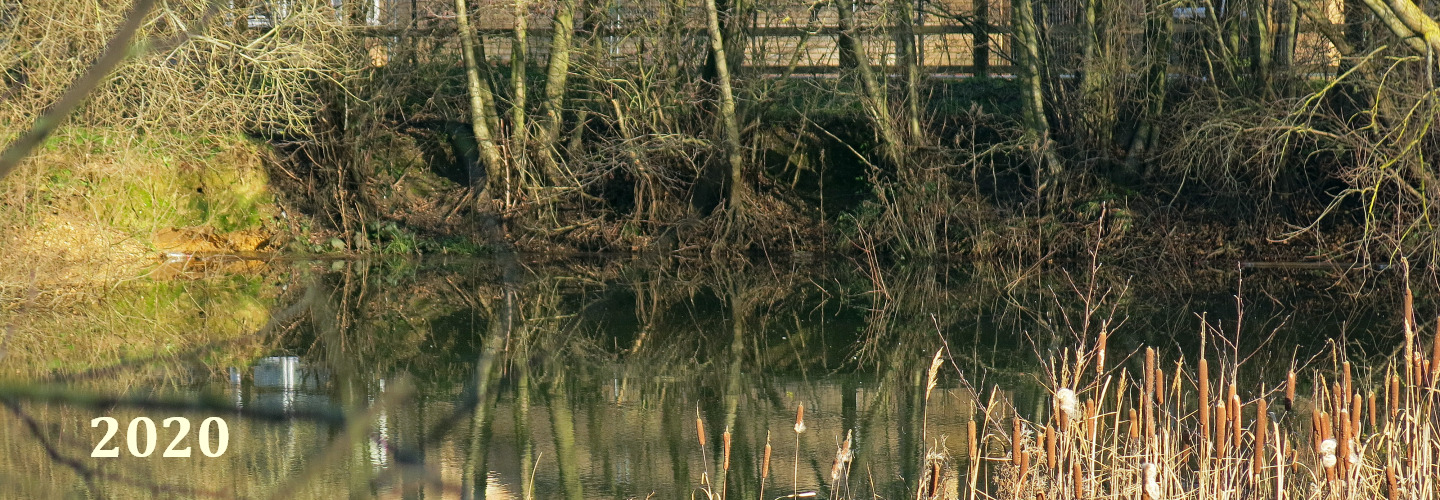
And what’s left of the Kingfisher Pond.
